

BERKELEY — A magnitude 4.3 earthquake shook the East Bay out of slumber early Monday, according to the U.S. Geological Survey.
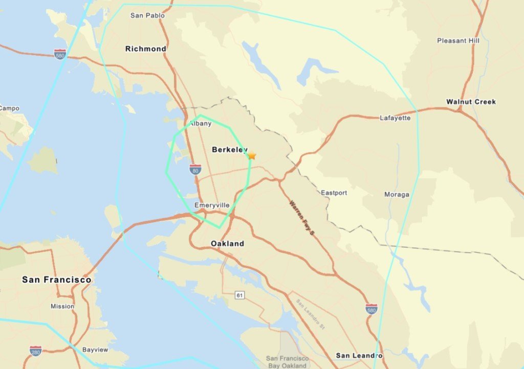
The quake — initially registering at 4.6 — was reported at 2:56 a.m. and was centered just southeast of the UC Berkeley campus near Dwight Way and College Avenue, according to the agency. Its depth was listed as 7.8 kilometers.
The Hayward-Rodgers Creek Fault runs within a quarter-mile of the epicenter.
Residents reported feeling the earthquake in most corners of the Bay Area, from San Rafael and Vallejo south to San Jose, the USGS was reporting.
According to Berkeley emergency dispatch, there were no immediate local reports of any major injury or damage. Tangible reports of effects like picture frames rattling off walls in the area were surfacing in the immediate wake of the temblor.
For northern Californians, the most likely source of a dangerous quake is the Hayward-Rodgers Creek Fault, with a 33 percent chance in the next 30 years. This fault runs through the heart of East Bay cities, including through the Oakland Hills and portions of the UC Berkeley campus, running directly through Memorial Stadium. The Hayward section of the fault runs from near Mount Misery, east of San Jose, north to San Pablo Bay. The Rodgers Creek portion picks from there and runs north to Santa Rosa.
The last major earthquake in the Bay Area was the 1989 Loma Prieta earthquake, a magnitude 6.9 quake that struck on Oct. 17, 1989, in the Santa Cruz Mountains. It killed 62 people and caused $6 billion in damage throughout the Bay Area, with collapsed buildings and freeways. The largest earthquake since Loma Prieta shook Napa in August 2014 with a magnitude of 6.0. No one was killed in the quake but hundreds of buildings were damaged and dozens were red-tagged.
This is a developing story. Check back for updates.
Originally Published: